Introduction
I wanted to make a page of some of the best primary and secondary sources of information for anyone interested in the history of Bristol. Here you will find some of the better sources of information.
I am hoping to make this one of the most complete bibliographies of books about Bristol available. So far, I own copies of around one third of these books and pamphlets. Unfortunately, some of these books were privately published in limited numbers and others are now extremely rare, so there is now very little chance of collecting them all.
Before using any material from the sites listed here, please read their copyright and usage pages.
Maps
Maps are an incredibly useful sources of information. As well as showing how Bristol has changed over the years, studying them can give clues when streets, even individual buildings, were built.
The Earliest Maps
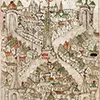
Bristol is lucky to have a fine collection of older maps. The earliest known map of Bristol, and one of the earliest of any city outside of London, appears in The Maire of Bristowe is Kalendar by Town Clerk Robert Ricart, which was compiled between 1480 and 1508. The book was commissions by the then mayor William Spenser. The book contains several inaccuracies, for example Ricart says that Bristol was founded before the Romans arrived in 55BC. In reality, Bristol was founded a little before the year 1000.
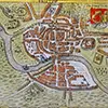
In 1568, William Smith produced a map of the city.
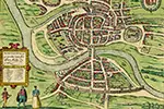
Joris Hoefnagle's map of Brightstowe was published in 1581. It was an engraving inaccurately copied from of an earlier survey by William Smith (1568). Hoefnagle's map was reproduced in Georg Braun and Franz Hogenberg's 'Civitates Orbis Terrarum' (1572 - 1617), the first published collection of town plans from around the world.
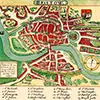
John Speed created a map of Gloucestershire in 1611. In the lower right hand corner of that was a map of Bristol.
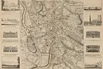
James Millerd drew his original "An Exact Delineation of the Famous Citty of Bristoll and Suburbs" in 1671. Over the years he made several alterations and additions to it, with the final edition, I believe, being produced in 1728.
John Rocque (originally Jean) (c. 1704–1762) was a French-born British surveyor and cartographer. In 1742 he surveyed Bristol and created a map, which he improved upon in 1750. The 1742 map is thought to be the first accurately measured survey of Bristol.
Later Maps
While the older maps are beautiful and nice to look at, after about 1800, maps become more accurate and show more detail. Modern website techniques allow the maps to be aligned with each other with overlays of historic events and photos.
Reprints of Ordnance Survey maps can be found. Here are some of mine published by Alan Godrey Maps.
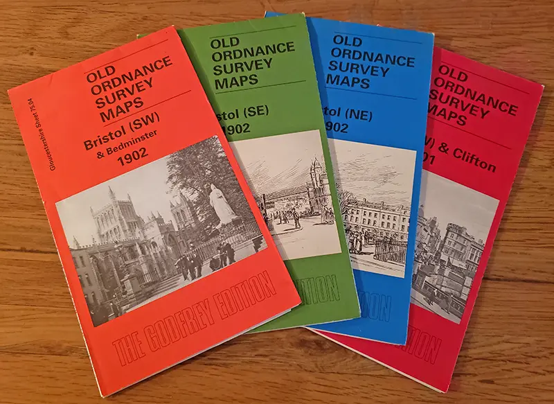
Reprints of 1902 Ordnance Survey maps prublished by Alan Godrey Maps
Bristol Maps - A great collection of interactive maps and historical notes mantained by Bristol City Council and Know Your Place
Historic Maps (Bristol Museums Collections) - From Hoefnagle’s 1581 map of Brightstowe to Fuller’s 2014 map of Bristol
Know Your Place - A great collection of interactive maps and historical notes mantained by Bristol City Council and Know Your Place
Mapping the City (Bristol Story) - The story of some of Bristol's earliest maps
Maps and Plans (Bristol Archives) - The maps in the Bristol Archves collection
National Library of Scotland - A selection of maps of Bristol from 1882 to 1991
Old maps of Bristol (Wikimedia) - Over 170 old maps
Old Maps Online
Photos
It's always nice to view photos of the city, theremust be millions ofthem online. Here's are some specialized sites:
Geograph
Image Collections (Bristol Archives)
Picryl - Public domain search engine
Wikimedia
The Book List
The table is sortable by clicking on the column headers. Links in the Title cells will take you to an online version of the full text. Links in the Publisher's cells will take you to the publisher's website.
Missing Books
Although I try and make this list as comprehensive as I can, I am bound to have missed your favourites. If I have, you can email me at and I will add them.
Finding the Books
Many of the books are now out of print, difficult to find and not available through the larger resellers such as Amazon (US), Amazon (UK), Barnes & Noble (Midwest US), Blackwell's (UK), or Waterstones (UK).
It may be worth trying to find them from the better of the rare, out of print, and speciality local history resellers such as AbeBooks, Alibris, Ambra Books, Book Depository, Lesley Aitchison, Stella & Rose's Books, and ThiftBooks.
Apart from Google Search or your favourite other search engine, there are speciality book finder sites such as BookFinder.
About this Table
The table was created from a viewable Google Sheet and rendered on the page using Google Charts API. For how the links were added to the table see Tables: Adding a link
